
The River Refugium Project has reached a major milestone. Today — 01 April 2026 — we are publishing Version 2.0 of the complete technical framework.
This is not a revision. It’s a rebuild.
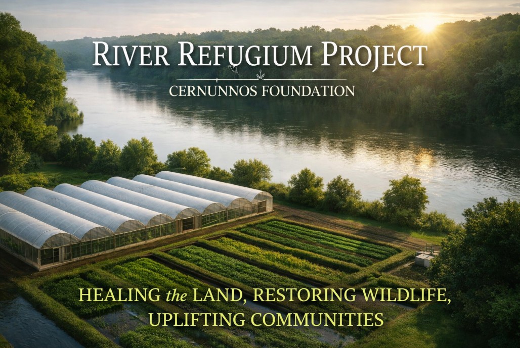
Version 1.0 laid the foundation — system architecture, environmental logic, site-selection criteria, and the integrated greenhouse concept. It was downloaded approximately 400 times and sparked conversations with researchers, engineers, farmers, policy thinkers, and independent builders across the country. That version did its job.
Version 2.0 is a different animal. The system has been expanded into an 18-document series covering every layer of the project — from water intake to clean-water return, from crop architecture to thermochemical processing, from financial modeling to national deployment strategy. Every document has its own cover sheet, version header, and Chicago Notes-Bibliography citations. Each can be read independently or as part of the full series.
The second edition adds substantial new architecture and analysis that did not exist in Version 1.0:
The full Version 2.0 series is now available for download. Each document is a standalone volume.
| # | Doc ID | Title | Download |
|---|---|---|---|
| 1 | RRP0002.1 | Executive Summary | [LINK] |
| 2 | RRP0002.2 | Problem Context & Design Philosophy | [LINK] |
| 3 | RRP0002.3 | System Architecture Overview | [LINK] |
| 4 | RRP0002.4 | Water Treatment & Biofiltration | [LINK] |
| 5 | RRP0002.5 | Greenhouse & Biomass Module | [LINK] |
| 6 | RRP0002.6 | HTC/HTL Thermochemical Processing | [LINK] |
| 7 | RRP0002.7 | Economic & Deployment Model | [LINK] |
| 8 | RRP0002.8 | Governance, Regulatory & Community Integration | [LINK] |
| 9 | RRP0002.9 | Verification, Monitoring & Performance Certification | [LINK] |
| 10 | RRP0002.10 | Risk, Failure Modes & Resilience Architecture | [LINK] |
| 11 | RRP0002.11 | Strategic Deployment Outlook | [LINK] |
| 12 | RRP0002.12 | National Narrative & Messaging Strategy | [LINK] |
| 13 | RRP0002.13 | Deployment Economics & Revenue Stack | [LINK] |
| 14 | RRP0002-AppA | Appendix A: Site Selection Matrix | [LINK] |
| 15 | RRP0002-AppB | Appendix B: National Watershed Priority Map | [LINK] |
| 16 | RRP0002-AppC | Appendix C: Initial Five Recommended Sites | [LINK] |
| 17 | RRP0002-AppD | Appendix D: Master Glossary | [LINK] |
| 18 | RRP0002 | Master Document Index | [LINK] |
Combined PDF edition (all 18 documents): [LINK]
Version 1.0 (2025) remains available here: [LINK]
The position hasn’t changed — it’s sharpened.
The modeling is deeper. The financial framework is real. The architecture is documented down to individual greenhouse types, hydraulic subsystems, and substrate strategies. Every provisional figure in the series is flagged with a research marker (⚑), sourced from peer-reviewed literature, and structured to be replaced automatically by pilot data when it arrives.
What remains the same: this system cannot be validated on a tabletop. The biological, hydraulic, and economic performance only becomes visible at acreage scale.
The next practical step is still a 10-acre pilot site, operated for a full growing season, producing real data across every axis — agricultural throughput, nutrient reduction, water quality, labor requirements, crop economics, and greenhouse performance.
Until that site is funded and operational, I am continuing to refine the framework, expand the modeling, and support anyone evaluating the concept.
Available Now
Full technical guidance. System modeling and refinement. Remote or in-person consulting. Design review and planning support. Pilot-site design packages. Collaboration with engineering, agricultural, policy, or investment partners. The 18-document series is the starting point for any of those conversations.
Available Once a 10-Acre Site Is Funded
If adequate operational funding is secured for a full-season grow, I can be on the ground or in a leadership role as needed. With real acreage and production value, the project becomes self-sustaining — and that makes it viable for me to commit fully without external employment.
The next stage requires:
This level of demonstration will validate the system’s agricultural, ecological, and economic performance — and determine its viability for scaled deployment.
I welcome conversation with environmental organizations, agricultural groups, investors, universities, coastal and river-basin planners, nonprofit partners, municipalities, regenerative agriculture practitioners, tribal nations, and independent innovators.
Whether you want to understand the system, critique the model, or explore a pilot site — I’m available.
Version 1.0 was a proof of concept on paper.
Version 2.0 is the engineering package.
The River Refugium model sits at the intersection of ecology, engineering, and economic opportunity. It addresses nutrient pollution, agricultural production, biomass energy, and community resilience in a single integrated system. Every piece of it is open. Every assumption is flagged. Every number is waiting to be tested.
I believe this can work. But belief is not the point — measurement is. That’s what the pilot is for.
If you have interest, resources, or alignment with this work, I’m happy to talk.
Thank you for your time and consideration.
Robert Smith
Founder, Cernunnos Foundation
Systems Analysis & Solutions Consulting — Bright Meadow Group
The dare from last time still stands.
If you can build this faster, bigger, or cleaner than I can — take it and run. The entire framework is open. No patents. No proprietary claims. No gatekeeping.
Every river system on Earth that’s choking on nutrient overload is a candidate. Mississippi. Danube. Ganges. Mekong. Murray-Darling. Congo. Yangtze. All of them.
The problems are real. The problems are urgent. And there is room for everyone who wants to get to work.
Godspeed.
1 thought on “River Refugium Project — Version 2.0 Release & Development Update”